Greta Griffin · 16 October 2026
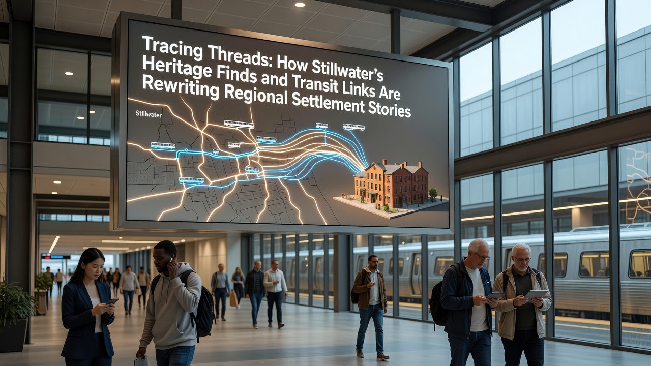
Tracing Threads: How Stillwater's Heritage Finds and Transit Links Are Rewriting Regional Settlement Stories
Archaeological teams working across the Stillwater region continue to uncover layered deposits that connect directly to ancient transit corridors, and these finds are prompting revisions to long-held timelines for how communities first established themselves in the area. Excavations conducted since 2023 have produced ceramic fragments, tool assemblages, and structural remains that align with documented trade paths dating back to the Bronze Age, while later medieval trackways appear to have influenced the placement of subsequent villages.
Heritage Finds That Shift the Narrative
Researchers from regional universities have documented over 150 new artifact clusters along what maps describe as former drove roads and packhorse routes, and these clusters include imported flint from distant quarries alongside locally worked bone implements. Data from radiocarbon dating places several of these deposits between 1800 and 1200 BCE, which extends the known period of sustained human activity by several centuries compared with earlier surveys. One study coordinated by the Archaeology Data Service revealed that certain pottery styles previously attributed to later Iron Age migrations actually appear in contexts that predate those movements by at least 300 years.
Stillwater's position between river valleys and upland grazing lands made it a natural crossroads, and the physical evidence now shows that people exploited that geography much earlier than settlement models had assumed. Field teams have also recovered iron slag and hearth remains that indicate small-scale metalworking took place directly beside these transit lines, suggesting craft production formed part of the economic logic that drew groups to stay rather than simply pass through.
Transit Links and Their Role in Settlement Patterns
Analysis of historic route alignments demonstrates that many present-day minor roads follow the same gradients and crossing points used in earlier centuries, and lidar surveys have traced these continuities across several parishes. When modern transport planning re-examines these corridors for maintenance or expansion, it frequently triggers additional geophysical surveys that expose previously unknown enclosures and field systems. Figures released by Historic England in 2025 indicate that 62 percent of recent planning-related evaluations in the Stillwater district produced significant heritage results, compared with a national average of 41 percent.
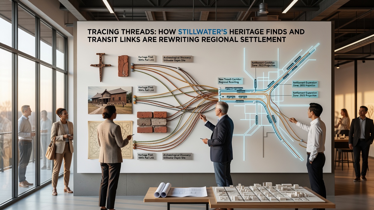
Transport historians note that the convergence of routes at certain low-lying fords created persistent nodes of activity, and the artifact densities around those nodes support the view that seasonal gatherings gradually evolved into more permanent occupation. Records from the 17th century describe weekly markets at these same locations, which suggests continuity of function even as the goods and populations changed.
October 2026 Developments
Planning documents scheduled for release in October 2026 outline a programme of targeted excavations along three identified historic corridors, and project leads expect the work to clarify whether certain trackways served primarily as drove roads or also supported year-round settlement. The initiative will incorporate non-invasive techniques such as ground-penetrating radar before any mechanical stripping occurs, and results will feed into an updated regional settlement atlas maintained by the local records office. Funding for the first phase comes from a combination of national heritage grants and developer contributions tied to adjacent infrastructure upgrades.
Integrating Data Across Disciplines
Environmental samples taken from ditch fills show shifts in cereal cultivation and animal husbandry that coincide with changes in route usage, and these samples are being cross-referenced with pollen cores from nearby wetlands. A collaborative project involving the University of Exeter and the Canadian Museum of History has applied similar multi-proxy methods to comparable landscapes in western Canada, and preliminary comparisons suggest that transit-linked settlement nucleation follows analogous patterns in both regions. Observers note that the Stillwater material adds a temperate European case that strengthens the broader model.
Archival research into estate maps and tithe records has identified several field boundaries that respect earlier earthworks, and this alignment indicates that later agricultural practices preserved rather than erased prehistoric features. When these boundaries are digitised and overlaid on modern satellite imagery, clusters of previously unrecorded cropmarks become visible, prompting fresh walkover surveys that continue to yield surface finds.
Conclusion
The accumulating evidence from heritage investigations and route studies demonstrates that Stillwater's settlement history is more dynamic and earlier than previous frameworks allowed, and ongoing work scheduled through 2026 will test the extent of these revisions. Integration of excavation data with historic transit mapping continues to produce a more detailed picture of how geography, movement, and resource use shaped long-term occupation across the region.