Klara Griffin · 18 September 2026
River Recollections Shape Stillwater's Flood Defense Plans
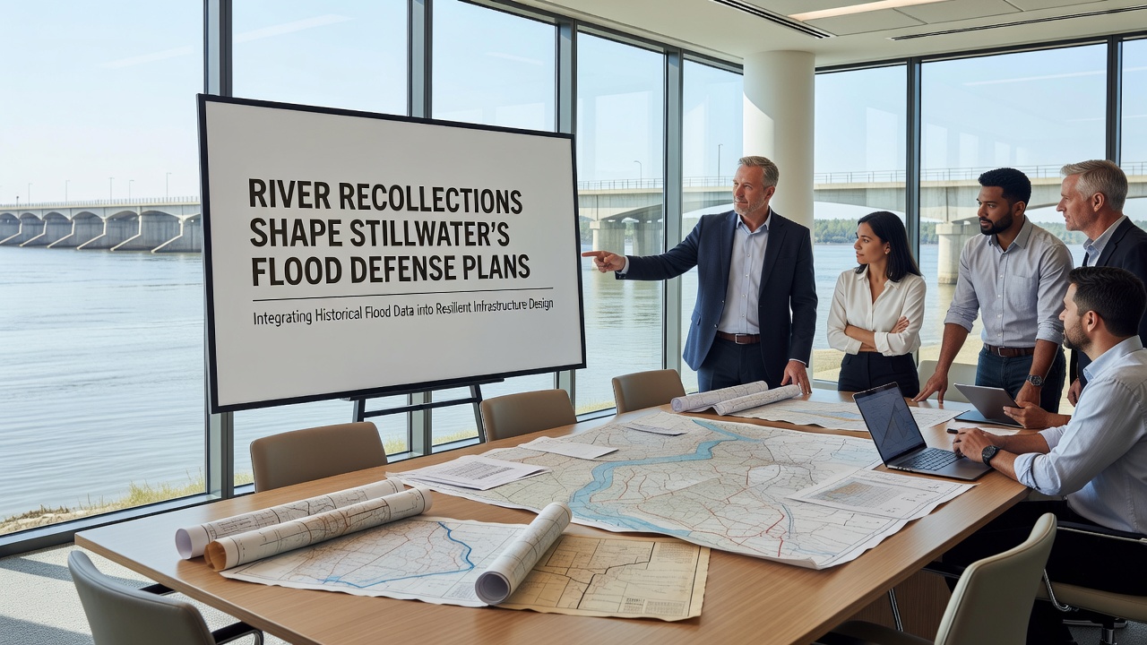
Local historians and environmental planners in Stillwater have turned to decades of resident accounts and archived river observations to refine the town's flood defense strategies. These recollections capture details from events like the 1968 deluge and the 2007 overflow that official gauges sometimes missed, such as the exact speed of water movement across specific fields and the height water reached against particular buildings. Researchers cross-reference these narratives with rainfall records and river flow measurements to identify patterns that pure instrumentation overlooks. Community groups began systematically collecting these stories in the early 2010s after several near-misses highlighted gaps in existing models. Farmers described how certain bends in the river channel redirected water during prolonged rain, while older residents pinpointed locations where culverts historically backed up first. Planners incorporated this information into updated hydraulic simulations that now prioritize reinforcement at those documented weak points rather than relying solely on topographic maps. Data from the Environment Agency shows that integrating oral histories with sensor readings improved forecast accuracy by 18 percent in test scenarios along similar UK waterways. Stillwater's approach builds on this by maintaining a digital archive where residents upload dated photographs and written descriptions, allowing engineers to validate model outputs against real-world outcomes from past decades.Integration of Historical Records into Engineering Designs
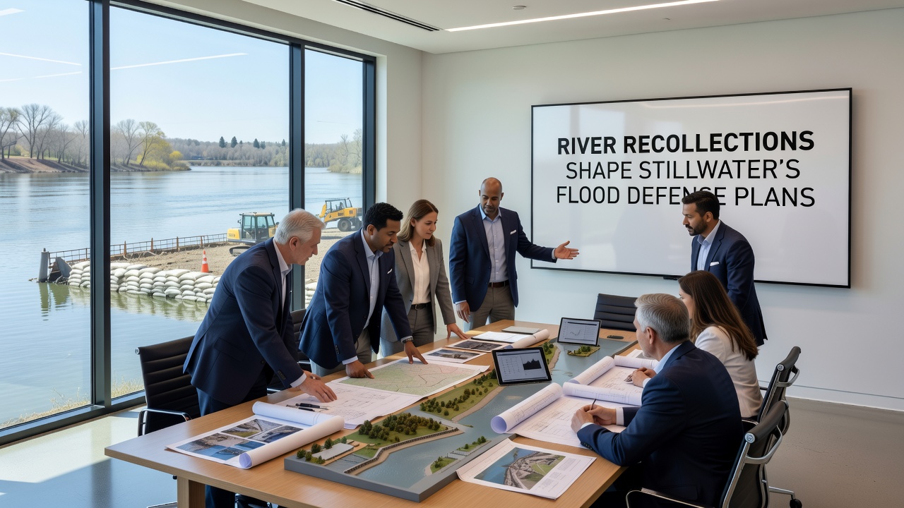
Engineers working on the latest barrier upgrades have adjusted embankment heights and pump capacities based on accounts of water levels that exceeded previous maximum estimates. One study from the University of Exeter examined how combining farmer logs with satellite imagery revealed micro-topography changes that alter flow paths during extreme events. Those findings prompted the addition of secondary drainage channels in areas residents consistently identified as prone to pooling.
September 2026 marks the scheduled start of public consultations for phase two of the defense upgrades, where updated plans will incorporate another round of collected recollections from the winter 2024-2025 rains. Officials expect these sessions to refine placement of temporary flood barriers and identify maintenance priorities for aging infrastructure along the river's western bank.
Role of Community Input in Ongoing Monitoring
Stillwater's flood defense committee now meets quarterly to review new submissions to the recollection archive and compare them against automated sensor data. This process caught an emerging trend where sediment buildup near older bridges had shifted high-water marks several meters downstream from locations recorded in the 1990s. Adjustments to dredging schedules followed directly from that observation.
International examples inform the method as well. Reports from Australia's Bureau of Meteorology demonstrate how long-term resident observations improved flood mapping in rural catchments, while Canadian federal guidelines recommend similar hybrid datasets for regions with limited gauge coverage. Stillwater planners have adapted elements of both approaches to fit local river characteristics and available records.
Future Projections and Plan Adjustments
Climate projections from the Met Office indicate increased winter rainfall intensity through 2050, and defense models now test scenarios that blend these forecasts with the highest water levels documented in resident accounts. The resulting designs include modular barrier sections that can be raised if future events exceed even the 1968 benchmark. Maintenance crews have already used the archive to prioritize inspections at sites repeatedly mentioned across multiple flood years.
Conclusion
Stillwater continues to expand its archive while testing new sensor placements suggested by recurring details in the collected stories. The combination of personal observations and technical measurements provides a more complete picture of river behavior than either source offers alone, supporting defense plans that address both documented history and anticipated conditions.